Open Culture readers may know John Green best for Crash Course, the YouTube channel that teaches everything you need to know about subjects like world history, U.S. history, big history, literature, and philosophy. Or at least it teaches everything a teenage student facing down the prospect of Advanced Placement subject exams needs to know. Such viewers have always had a decent chance of knowing Green as the author of novels for young readers like Looking for Alaska, The Fault in Our Stars, and Paper Towns. That last takes its title from just the kind of historical phenomenon that would in any case have fascinated Green, in his capacity as a vlogger, enough to inspire a video: the wholly fictional settlements created by mapmakers in order to expose cartographic plagiarists.
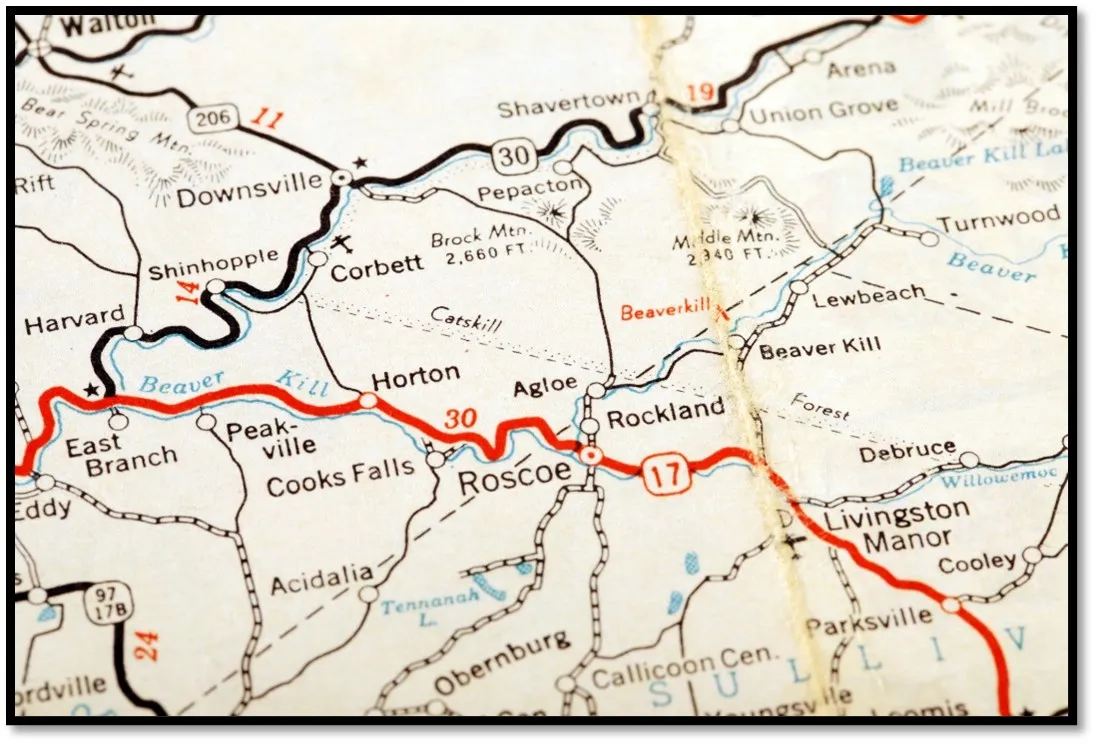
Green discusses one such paper town in the episode of Vlogbrothers, the long-running channel Green runs with his brother Hank, at the top of the post. Agloe, New York, an upstate hamlet in Colchester, Delaware County, was fabricated in the nineteen-twenties by cartographer Otto G. Lindberg and his assistant Ernest Alpers, who’d been commissioned to make maps for the gas-station chain Esso.
Mapmakers (like Lindberg and Alpers) have guarded against plagiarism by inserting “paper towns” — invented streets, landmarks, or other features — into their maps. The logic is simple: two cartographers might easily draw the same real town, but two cartographers can’t independently dream up the same fake one. So if a rival’s map contains the same invented place, it all but proves they copied the map.
Though intended as nothing more than a “copyright trap,” the name of the dot in the road, Agloe, soon manifested in the real world. A business named Agloe Lodge Farms appeared in 1930, and it went on to apply the name to a local fishing lodge it acquired. Thus was Agloe, New York brought into existence, at least in the eyes of the law: by the time they were challenged about its inclusion on their own maps, Rand McNally could cite official county records in their defense.
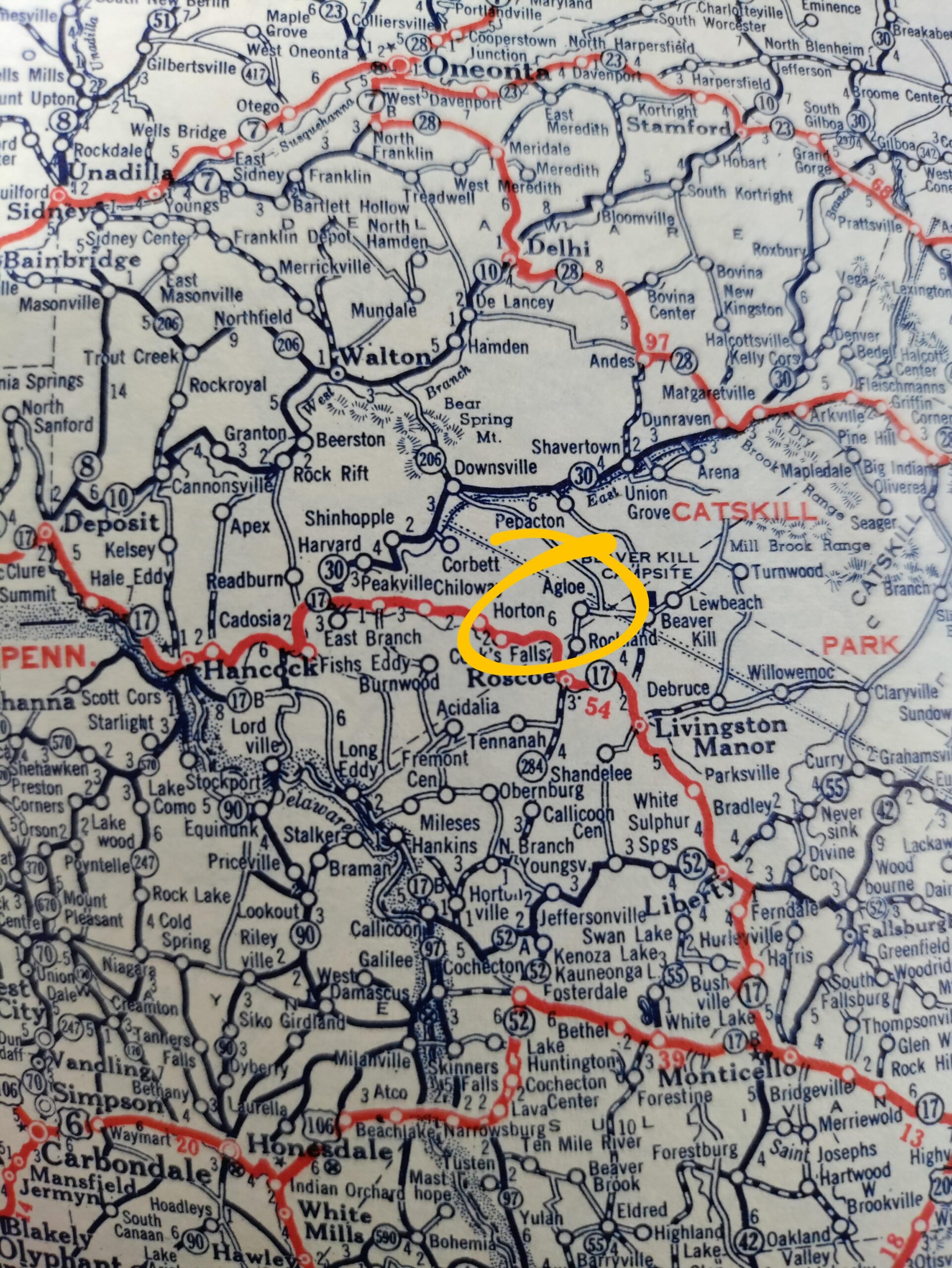
In other words, “a made-up name for a made-up place inadvertently created a real place that, for a time, really existed,” writes NPR’s Robert Krulwich. “Rand McNally, one presumes, was found not guilty. Then the store closed. It isn’t there anymore. Decades passed.” At the time Krulwich was writing, in 2014, an internet search for Agloe, New York would still return a point where Lindberg and Alpers had originally placed it on their map the better part of a century earlier. “But then, just as this story was to be published, to be extra sure, we went to Google Earth, typed in ‘Agloe’ one last time, and, whaddya know? It isn’t there any more!” Adolescent readers imagining themselves running away in the manner of Margo Spiegelman will have to seek out another faraway paper town to dream about — or, more likely these days, a pixel town.
Related Content:
William Faulkner Draws Maps of Yoknapatawpha County, the Fictional Home of His Great Novels
The Biggest Mistakes in Mapmaking History
The Medieval City Plan Generator: A Fun Way to Create Your Own Imaginary Medieval Cities
The History of Cartography, the “Most Ambitious Overview of Map Making Ever,” Is Free Online
The French Designed a Fake Replica of Paris to Fool German Bombers During World War I
John Green’s Crash Course in U.S. History: From Colonialism to Obama in 47 Videos
Based in Seoul, Colin Marshall writes and broadcasts on cities, language, and culture. He’s the author of the newsletter Books on Cities as well as the books 한국 요약 금지 (No Summarizing Korea) and Korean Newtro. Follow him on the social network formerly known as Twitter at @colinmarshall.




I worked for the city in 1980s and one of my jobs was to check over paper maps for accuracy. I often found errors in streets. I was told the same it was to catch plagiarism. Probably frustrated drivers trying to get somewhere.